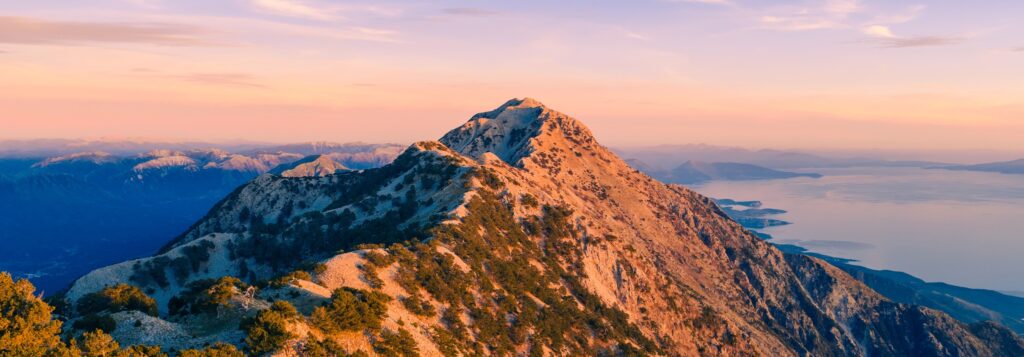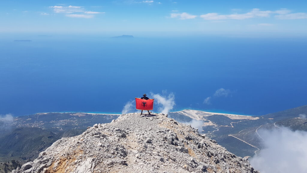
For most people, Llogara is where the Albanian Riviera begins. The road from Vlorë climbs through Dukat and into a forest of black pine and fir, the hairpins tighten, and then — at the 1,027-metre pass — the trees open and the whole Ionian coast drops away beneath you: Dhërmi far below, and on clear days the outline of Corfu on the horizon. Almost every traveller remembers that first view.
The park
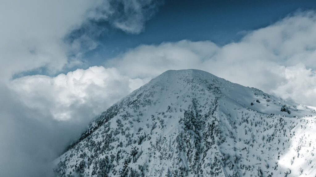
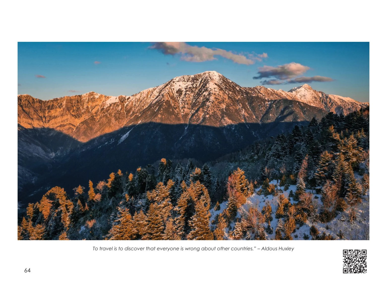
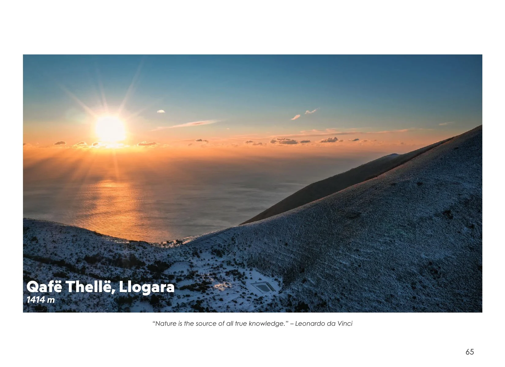
Llogara National Park was established in 1966 and protects about 10 km² of mountain forest in the Ceraunian Mountains, on the road between the Dukat valley and Dhërmi. Above it rise the big summits of the range — Maja e Çikës and Maja e Qorres — and saddles such as Qafë Thellë, where clouds often pour over the ridge at sunset.
Things to do
- Stop at the pass for the view, then eat at one of the family-run mountain restaurants — wood-fired lamb, tavë kosi and mountain tea are the classics.
- Fly: tandem paragliding launches near the pass and lands on the beaches of Palasë or Dhërmi (weather permitting, mainly summer and autumn).
- Hike: forest trails lead up towards the ridge and the summits above the park.
Good to know
The pass road (SH8) is paved but narrow and winding, with buses, cows and sometimes horses on the road. Fog can roll in quickly, especially early in the morning and in the evening, so drive slowly with lights on. Mid-morning usually brings the clearest views. Fill up with fuel before leaving Vlorë.
Shqip
Parku Kombëtar i Llogarasë, i shpallur në vitin 1966, mbron pyjet e pishës së zezë dhe të bredhit në Malet e Vetëtimës. Nga Qafa e Llogarasë (1,027 m) hapet pamja mbi Rivierën dhe Dhërmiun. Kujdes me mjegullën dhe kthesat e rrugës.